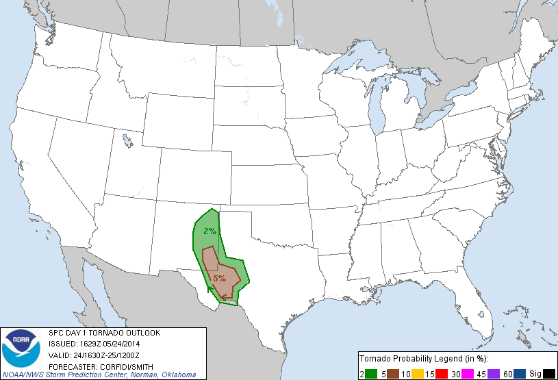
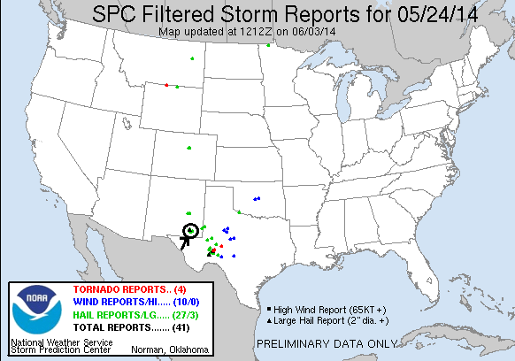
SPC Convective Outlook SPC Tornado Prob. NOAA Storm Report
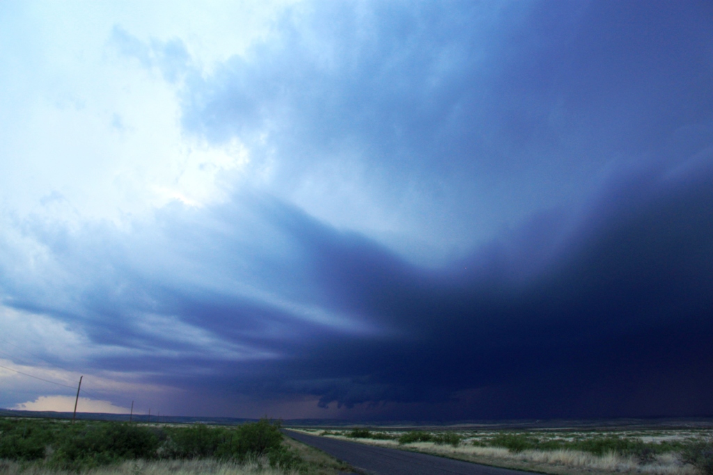
May 24th, 2014, Carlsbad, NM Dusk Supercell
A long, slow motion kind of day that looked like it was going to be a bust but ended with a bang! We left Lubbock in heavy rain around noon after doing a Weather 101 class,
with Ft. Stockton as our target to play storms as they came north and hit the outflow boundary that had been surging southward from the overnight convection. The first
issue we could see was that the boundary had already surged past I-20, though it was forecast to retrograde as the day progressed.
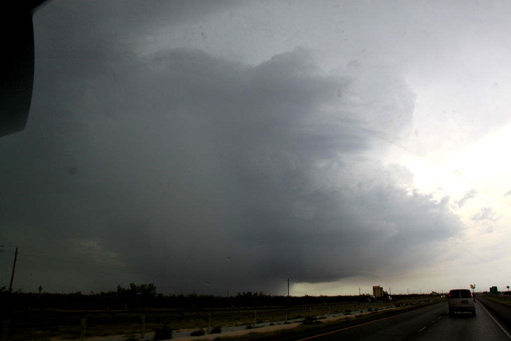
Elevated storms were already underway as we got to
Odessa and we passed just to the north of a big left-moving hail storm as we
headed west. We were posed with a number of different options: Head northwest to
Carlsbad, NM into the area with the best overall conditions and where HRRR was
predicting large isolated supercells just before dusk, or head to Ft. Stockton
to intercept the tail end of the elevated storms that had gone severe, or target
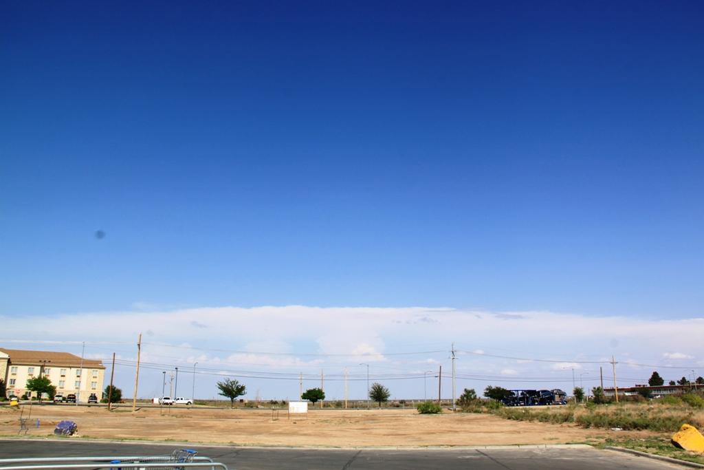
an area more to the southwest. We deferred the decision and headed to Monahans
and waited….. then we repositioned to Pecos and waited…. and watched as one of
the storms to the east went tornado warned and looked nasty on radar, with a big
hook echo wrapping into the outflow boundary.
So, we waited some more since we had no chance of
getting to the eastern storms and nothing much was happening in the west, though
HRRR still had two big tail end supercells at the end of what later was forecast
as a big linear complex. With nothing doing east, we decided to head to
Carlsbad, NM again so we’d be in position if the model did verify, and if not,
it was progress back towards the hotel.
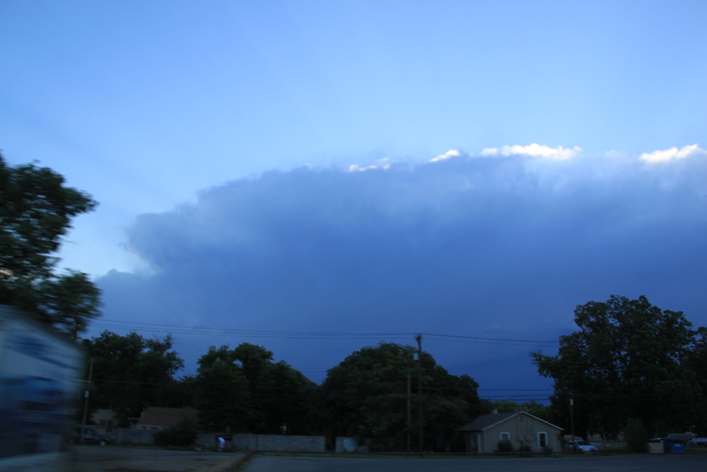
As we crossed into New Mexico again, things were
just starting to percolate, so we stopped in Carlsbad and….. waited again.
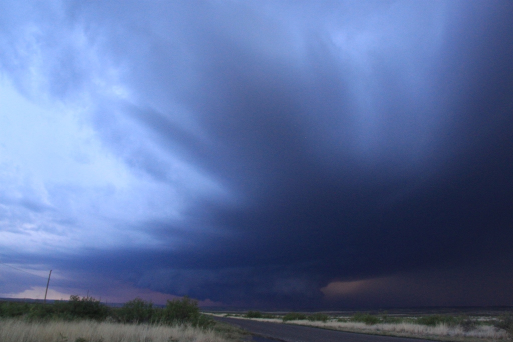
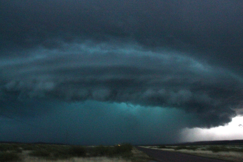
Finally KABOOM!! A whole series of storms fired along the mountains, and, just
as HRRR predicted, there were two big supercells at the tail end just to our
west. With darkness falling we first headed south towards the tail end storm,
but once we got a glimpse of the cell just to our west we decided we had to
target that one and u-turned and headed north out of Carlsbad. As we headed up
Rt. 285 we could see the huge base of the storm to our west with scud rapidly
rising into the base, a developing wall cloud and numerous inflow “stingers”
feeding into the storm. After hundreds of miles of maneuvering through west
Texas and southeast New Mexico, we ended up on the exact same road we’d watched
the storm of the day on the day before! What are the odds of that? This time
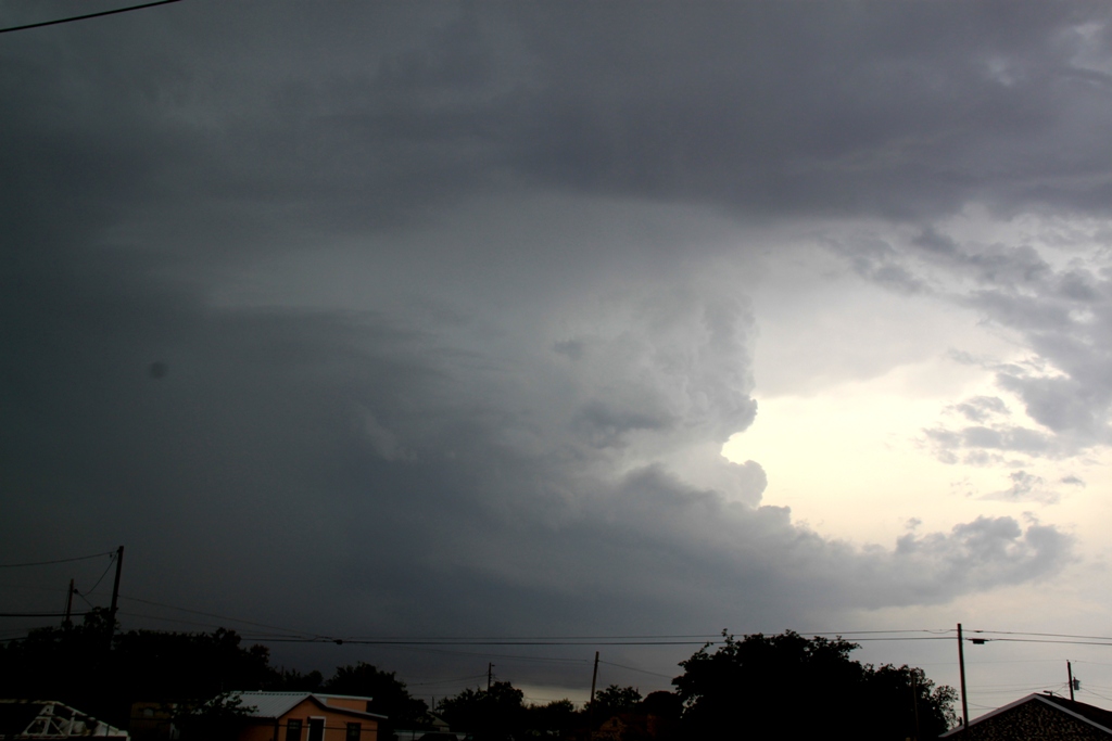
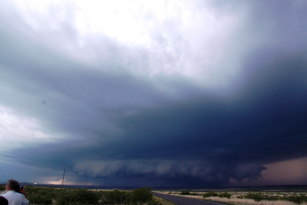
though, the storm was a monster classic supercell that meant business and was
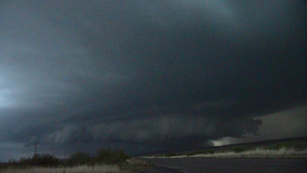
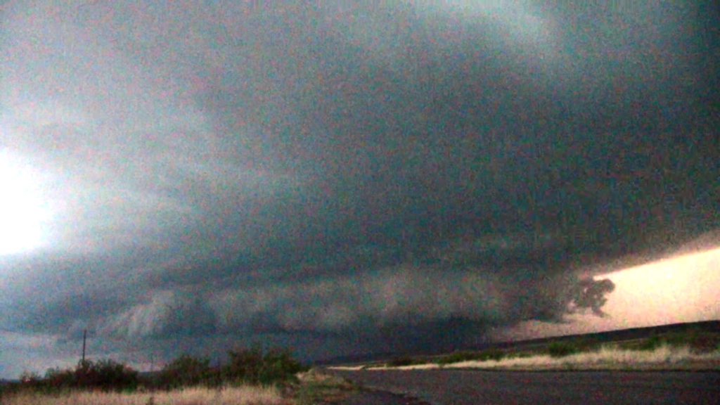
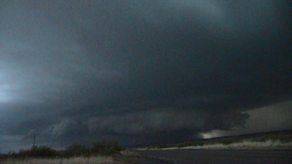
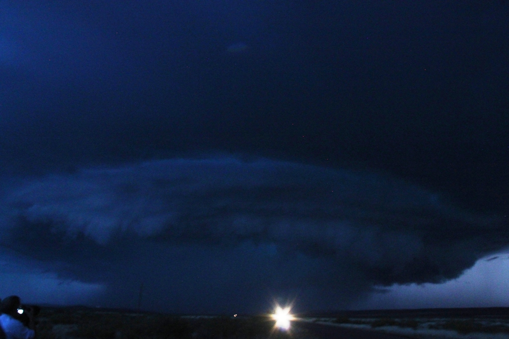
coming directly at us. As dusk set in, the storm developed a big low hanging
wall cloud and then we observed several power flashes right in the front region
of the wall cloud, though it was impossible in the failing light to see if it
was a tornado that was causing the damage.
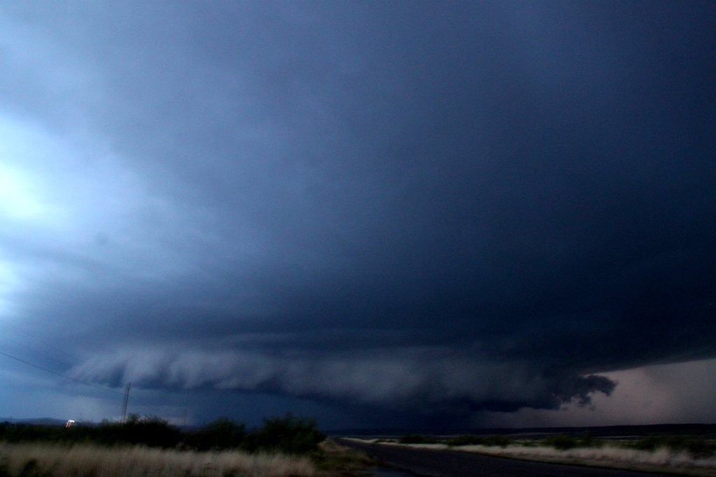
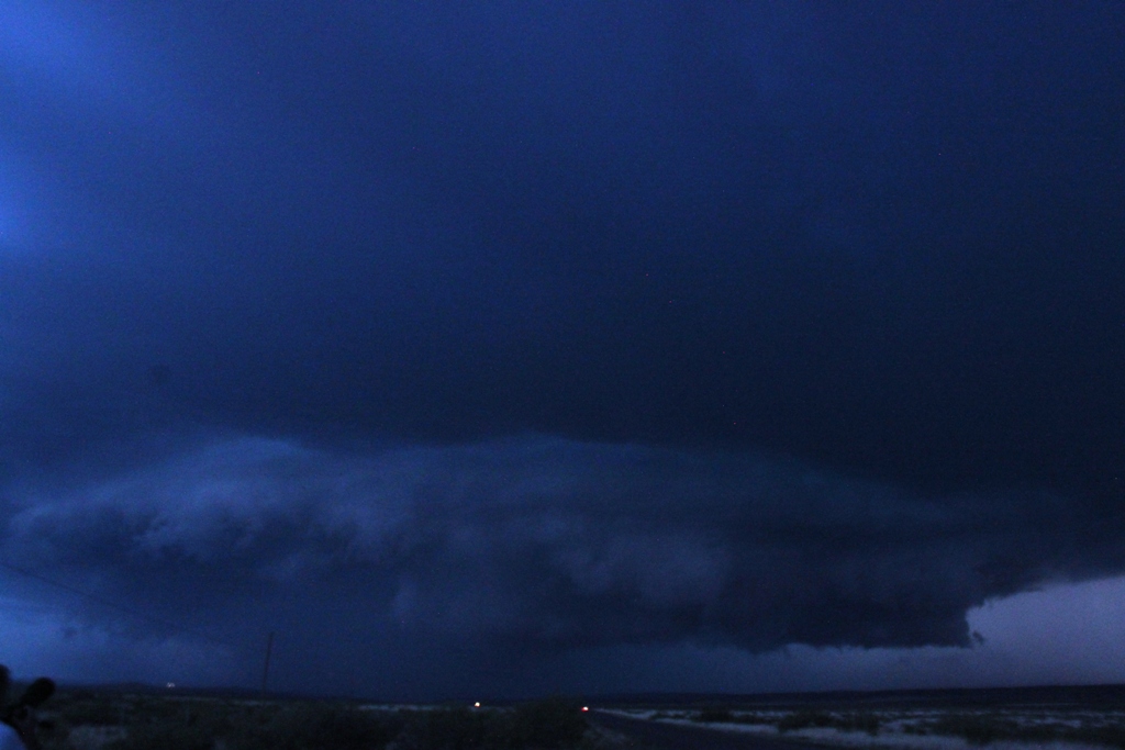
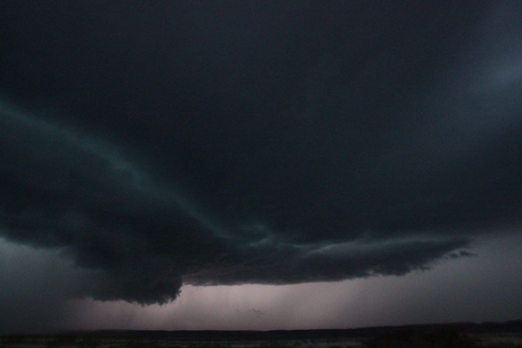
We continued to watch the storm as it closed on
our location and developed a big beaver tail inflow band, took on awesome
spaceship like structure, and was throwing lightning bolts everywhere, but it
was now also clearly becoming a high-precipitation storm with baseball sized
hail reported. As the storm was almost on top of us, it was time to move and
intercept the southern storm before it crossed the road. We headed back south
towards Carlsbad and then Loving, while the storm became a behemoth to our west
with a perfect eagle-claw radar return, a 75 dbz core (amongst the strongest
cores I’ve seen on radar, VIL’s maxed out, 3-4” diameter hail, and on radar 3
maxed out velocity markers)! Clearly not a storm we had any interest of getting
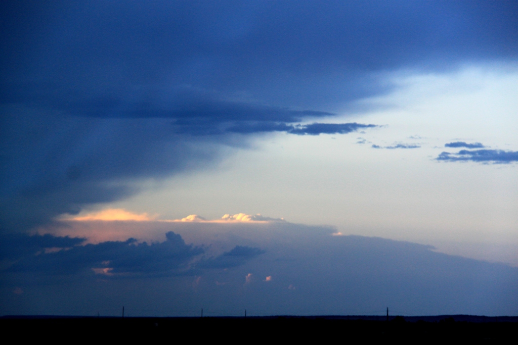
run over by! We continued southeast out of Loving and stopped to get a view, but
sadly it was now completely dark and we were too close to the front flank core
to get a good look at the structure. We watched lightning flying around the
anvil for a few minutes, and then it was time to get out ahead of the cores and
start the 4 hour trip to Lubbock.
A great finale to the day! Mileage for the day was
525.
SPC
Convective Outlook SPC
Tornado Prob.
NOAA Storm Report
 |
 |
 |
 |
| Targeting Ft. Stockton from Lubbock, we intercepted a left moving hailstorm in Odessa. | We had to decide: Continue to Ft. Stockton, head for Carlsbad, or to SW Texas. Maneuvering around the hailer, we headed for Monahans, TX to wait and decide. | Now in Pecos, TX, we watch as to the east a storm went tornado warned on the outflow boundary. Too far to catch... | Finally near dusk a supercell explodes west of Carlsbad. |
 |
 |
 |
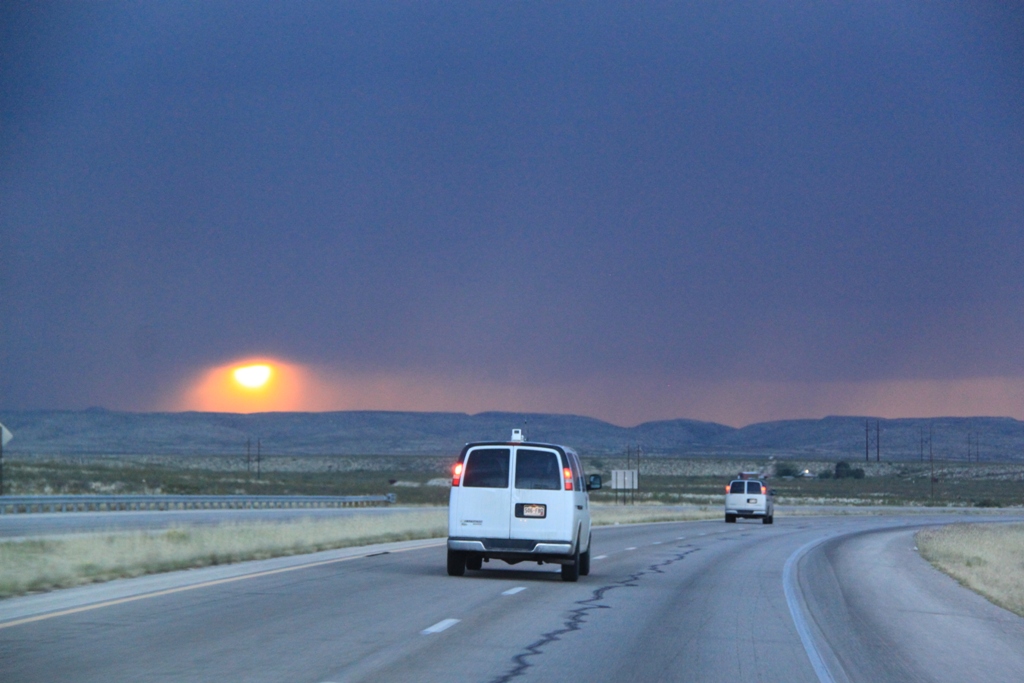 |
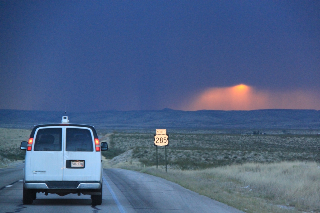
| Another storm with an overshooting top way north near Roswell. | North of Carlsbad we charge to intercept. The storm already has a low-hanging wall cloud. | The setting Sun created an eerie purple/orange ambiance. | Our 3rd cool Sunset scene in 5 days. |
|
|
|
 |
 |
| Heading west on the same road we'd watched our storm on the day before. Wall cloud with a low hanging scud ball attached. | Wide view of the storms shows multiple inflow "stingers" at mid-level. |
Well defined
wall cloud, spinning hard! |
Wall cloud gets beefier but it's getting dark and harder to see! |
 |
 |
 |
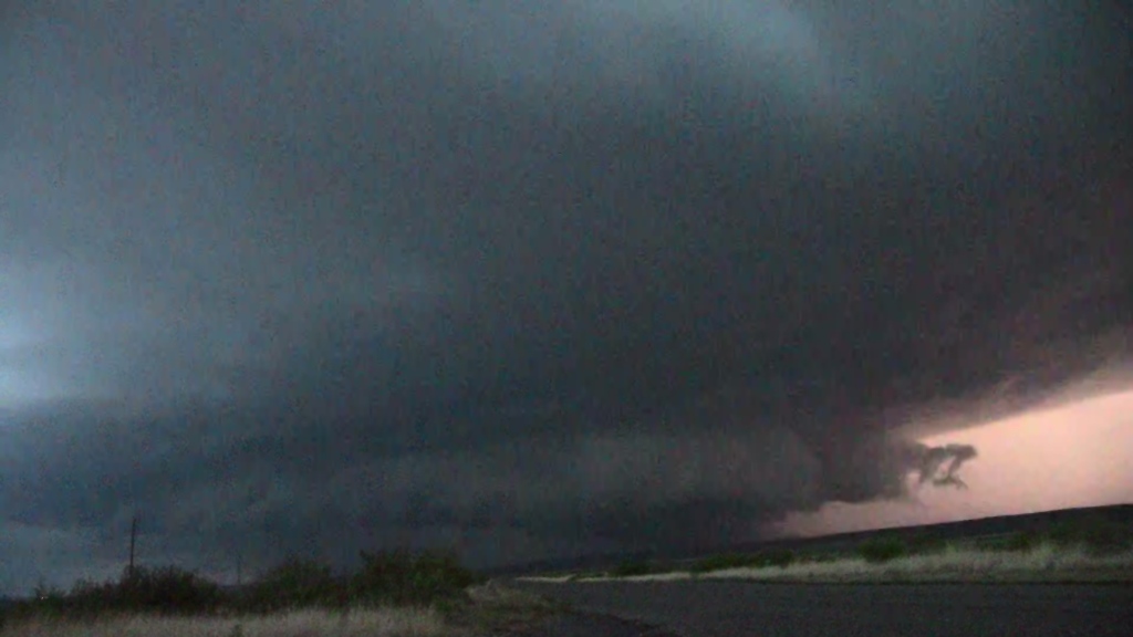 |
| The classic "butt-dragging" wall cloud! | The storm was right-turning so the storm was now closing on us quickly. | Closer still, but also getting darker and it was getting difficult to see any details below the wall cloud. | Pretty much dark now, but lightning illuminates the wall cloud. |
 |
 |
 |
 |
| Power flash!! Could there be a tornado in there? | Lightning illuminates the wall cloud again but no visible tornado. | Another power flash (there were a few). Based on where the flashes were, I think they were caused by straight line outflow winds. | After dark now the storm has gone HP and is almost on top of us. |
 |
 |
 |
 |
| Looking straight into the "whale's mouth"! | Lightning illuminates a big inflow band to our north. | One last look. The storm was still rotating hard. | The shelf cloud almost right over us, it was time to get out of there and call it a night. |
All pictures (C) Richard Hamel 2017.