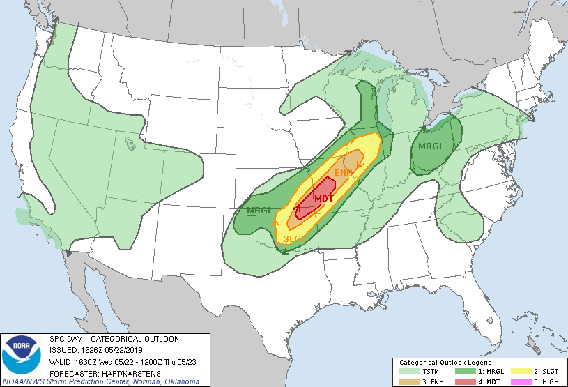
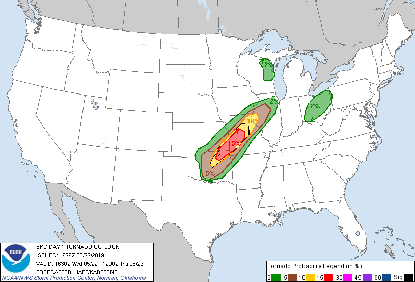
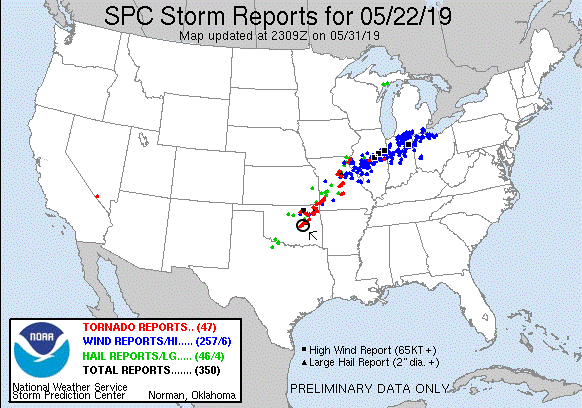
SPC Convective Outlook SPC Tornado Prob. NOAA Storm Report
May 22th, 2019, Eastern Oklahoma Tornadic Supercells
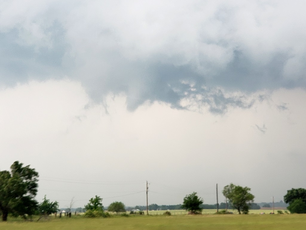
Yet another day with big possibilities as moisture
poured into Oklahoma with 70-degree dew points along a frontal boundary
stretching from about Wichita Falls, TX to Joplin, MO and beyond. The models put
the best sheer profiles in the area of Tulsa, OK so we started making our way
down there from Salina, KS, intending to stop in Bartlesville, OK.
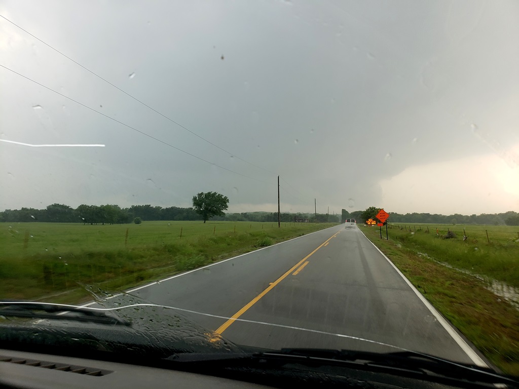
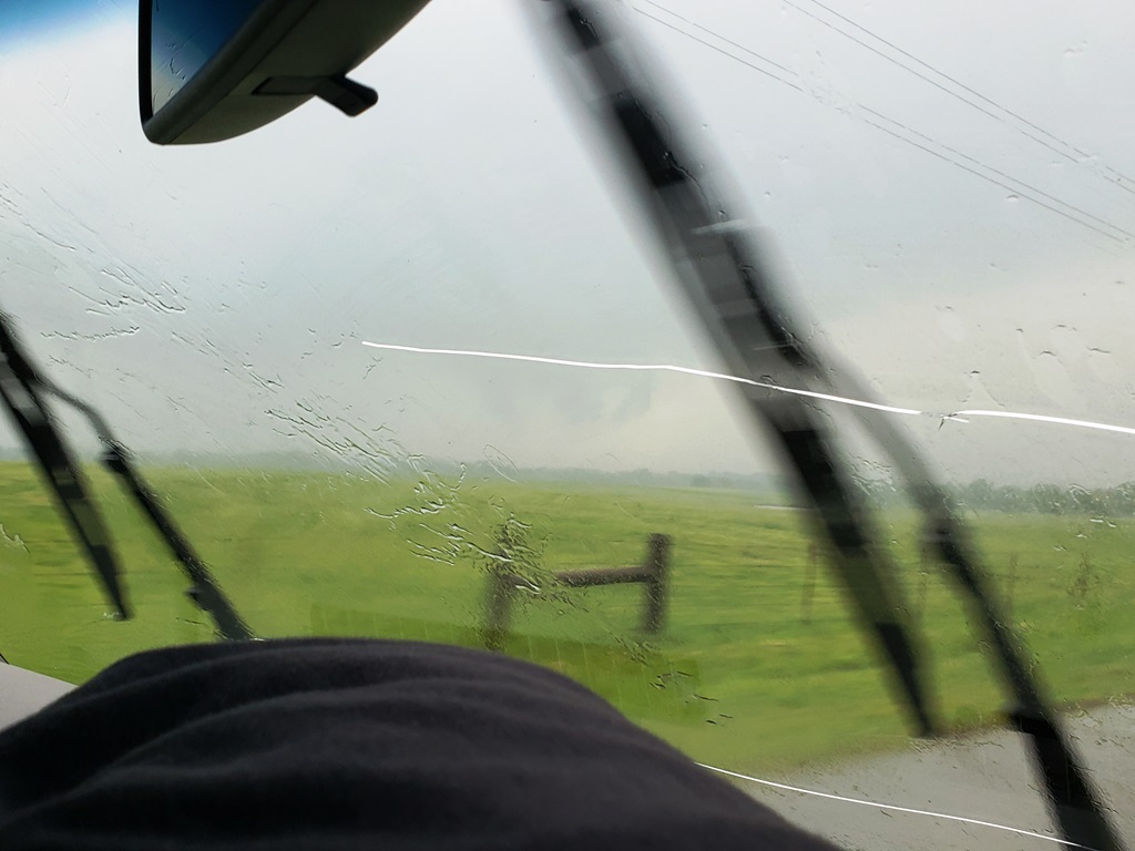
We proceeded down south of Wichita on I-135, stopping for
a rest break just north of the Oklahoma border. Once there, analyzing the road
flooding situation on the Oklahoma DPW website, we realized we had a problem:
there was no way to get to Bartlesville from where we were as all of the roads
were flooded out! Because of that we adjusted our target to Tulsa and continued
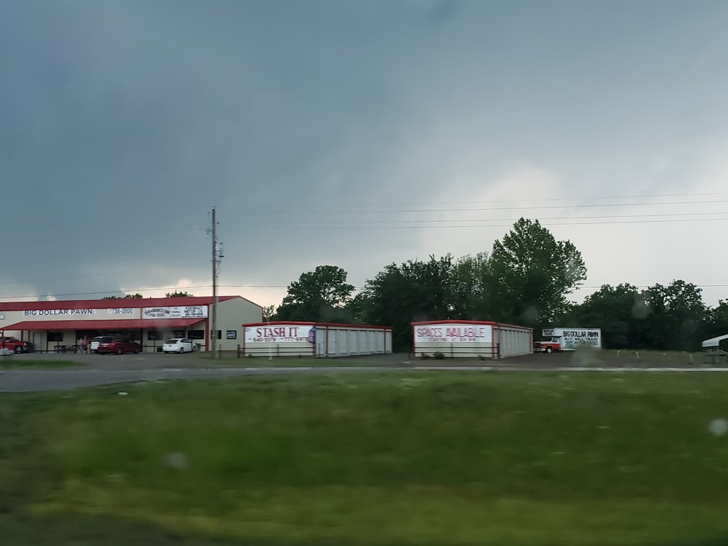
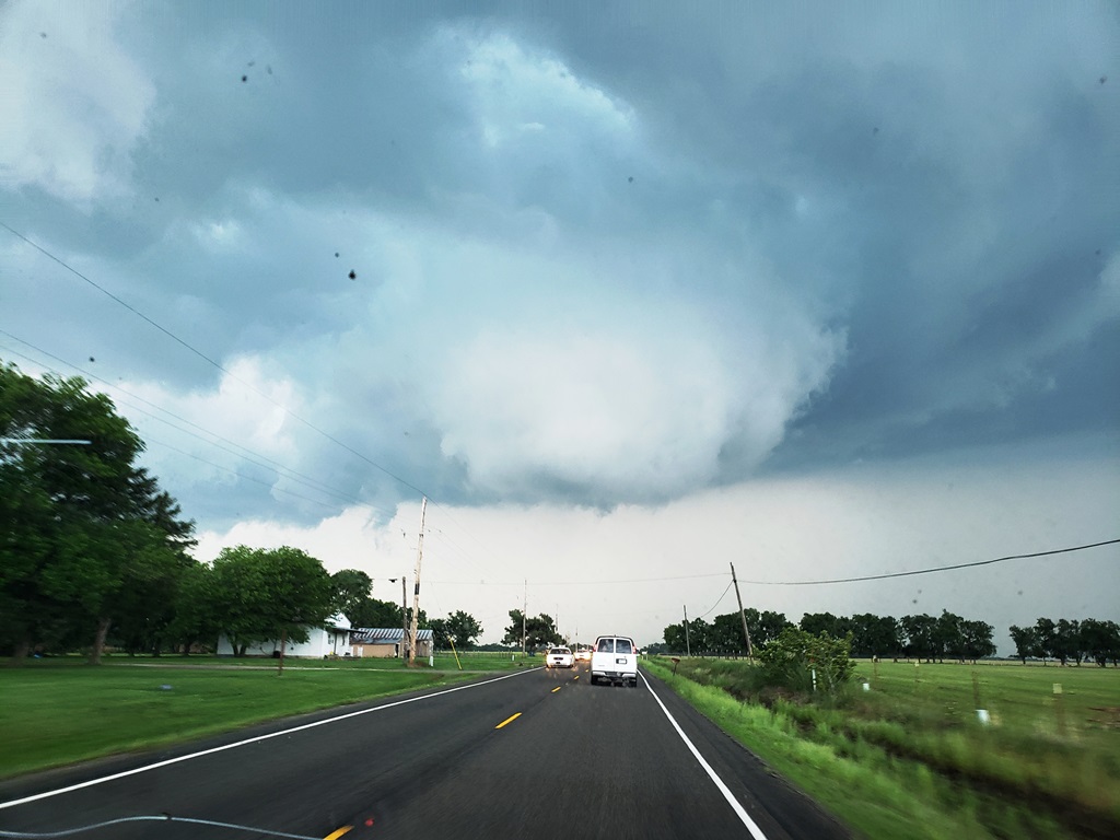
south, and then east on Rt. 412 all the way to Tulsa where we stopped for lunch
and waited for storms to initiate.
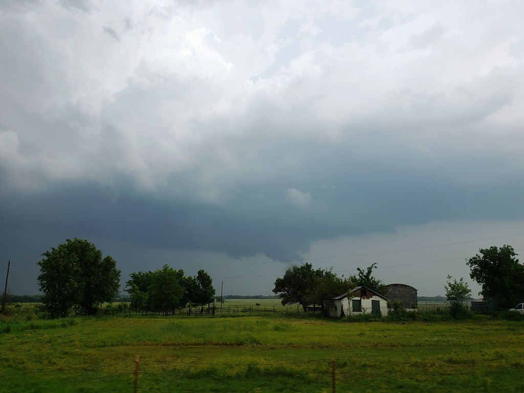
We stayed in Tulsa for about an hour and a half as storms
began to initiate to our south and grow in intensity. Soon there were multiple
severe storms to our south showing signs of rotation and we headed south to
intercept. We headed south on Rt. 75 intending to get to Beggs and wait for our
target storm to come to us, but as we closed in the storm went tornado warned
and there were tornado sightings so we sped down to Okmulgee with a west option
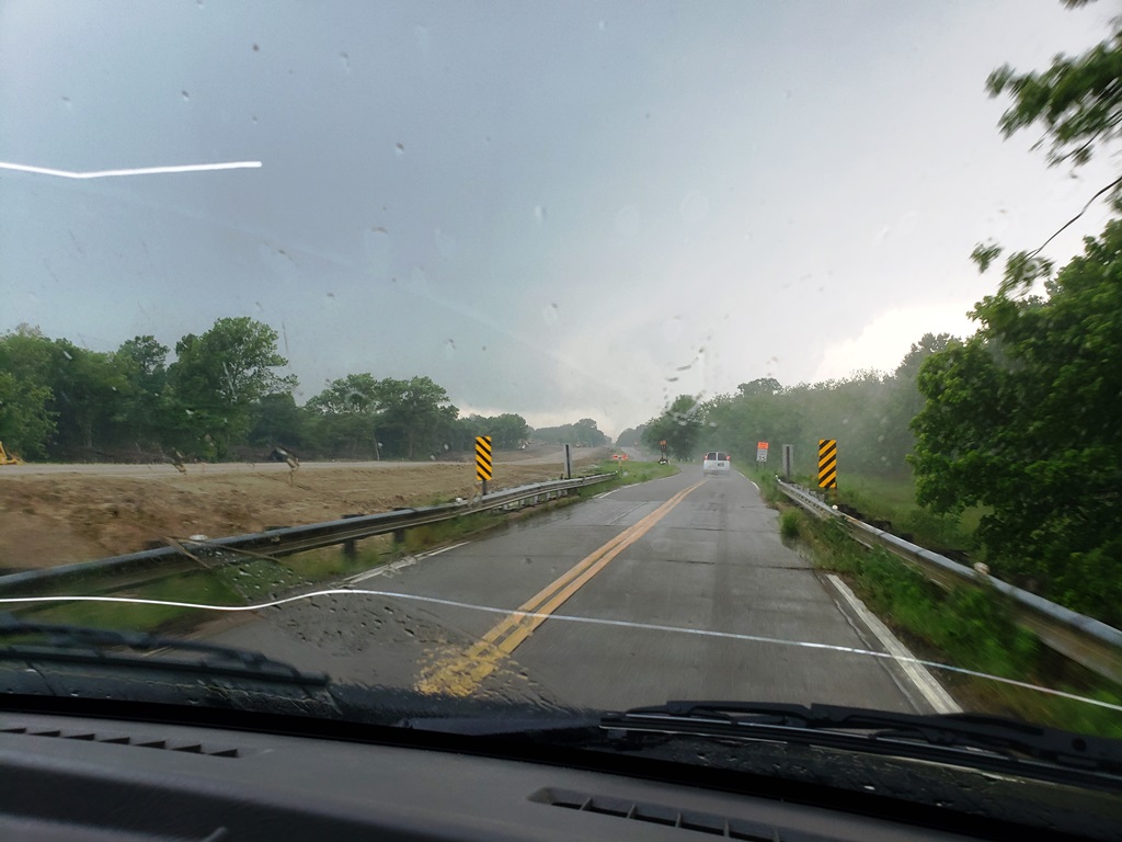
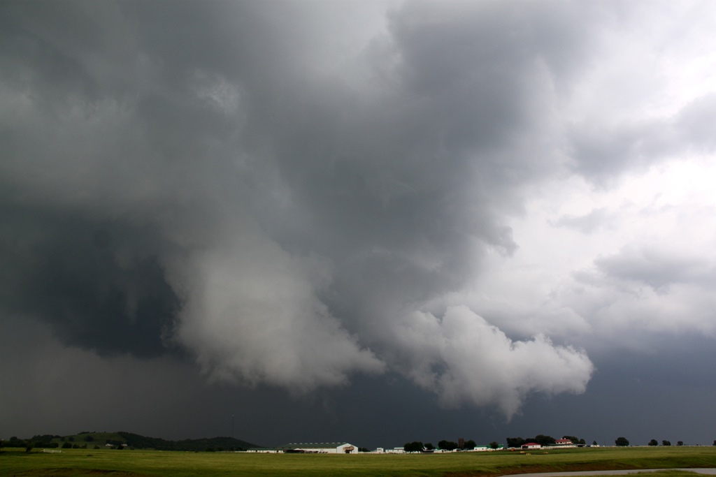
that would allow us to drive right up to the updraft. We made it through
Okmulgee and headed west on Rt. 56 into the woods around Okmulgee Lake in heavy
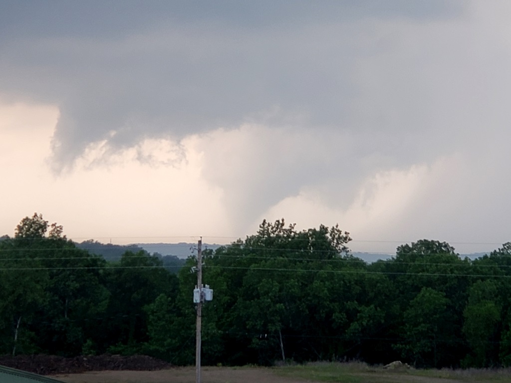
rain as we skirted the front-flank core. As we blasted west past Nuyaka and got
around the precipitation core, the big, beefy updraft became visible and it was
clear we were going to meet it right on the road to our west. After the road
made a dogleg south, we turned west again and were driving right towards the
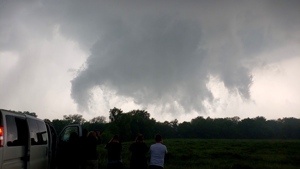
ground scraping wall cloud just to our west. As we closed further, in the
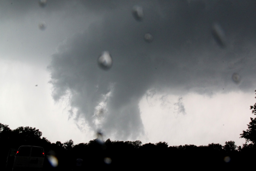
distance through the woods a dark mass crossed the road about 2 miles west of
us. Tornado! We drove right up to where it had crossed the road and there it was
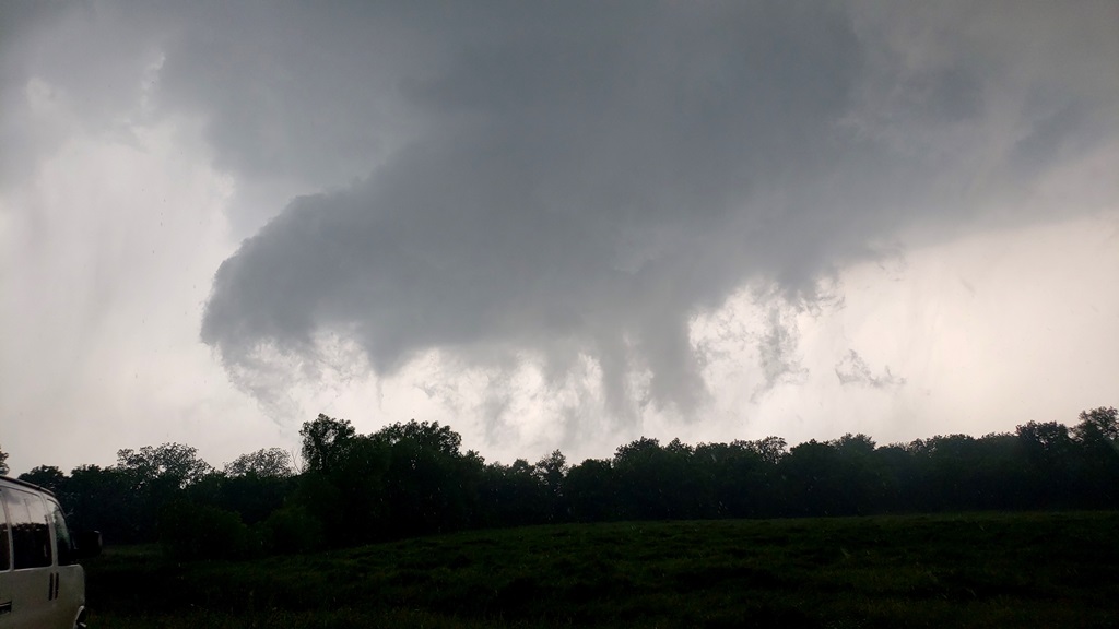
in the woods just north of us, a multi-vortex tornado slowly meandering away to
the north, shifting from multi-vortex with tendrils skipping along the ground to
a brief cone with more complete condensation. We observed the tornado for about
5 minutes and then decided we needed to get east and north to keep up. We
blasted east then north up Dentonville Rd. towards Nuyaka, with the wall cloud
to our northwest. But we were running out of road and not closing the distance
much, when it became clear that the next storm to our south behind this one was
interfering with our target storm and also taking over the show. We broke off
and turned back south to Rt. 56.
When we got to Rt. 56 and turned east, it became clear
that we had to get east to Okmulgee in a hurry because the mesocyclone of our
new, tornado-warned target was going to get there at just about the same time we
were! I did some quick calculations as the lead van had lost radar and decided
we would make it with just a few minutes to spare. We flew east in the rain and
when we got to the outskirts of Okmulgee, we navigated around the perimeter of
town by heading south on S. Madison Avenue, then East on E0970 road and finally
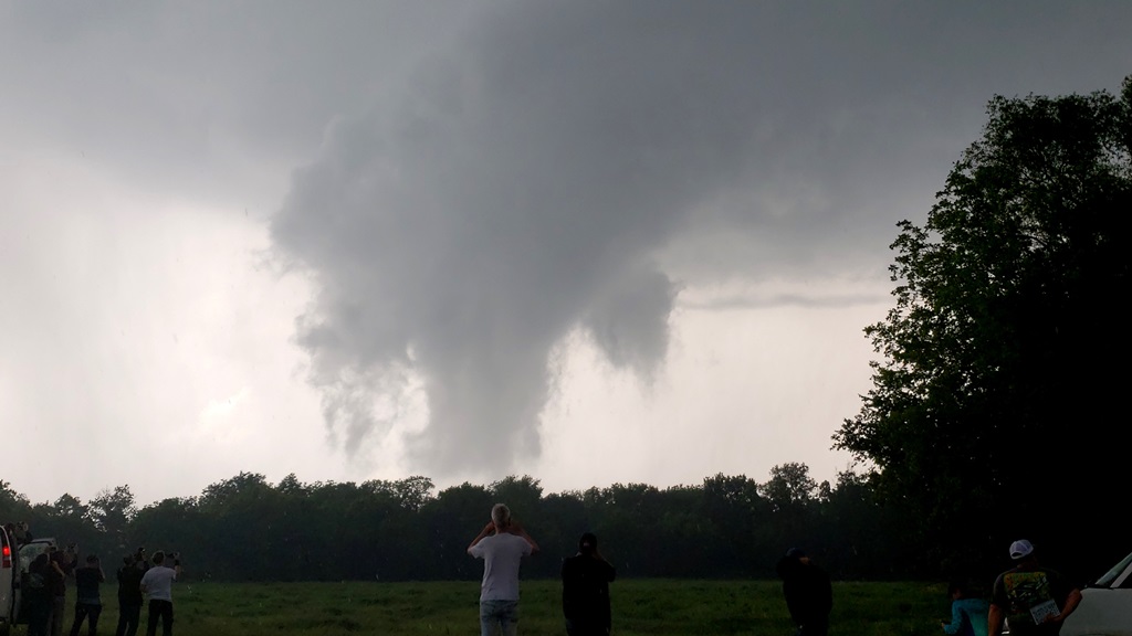
turning south on Rt. 62. Almost immediately upon making the turn south, the road
went up a hill providing a good vantage point, and off to our west was a large
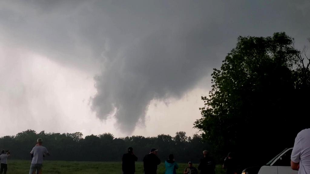
cone tornado traveling through the woods. Tornado #2! about 30 minutes after the
first one on the previous storm. This one had formed on the occluded meso of our
new target storm and as we watched it to our northwest, the new meso to our
southwest looked like it might tornado at any time as well, and soon produced a
big funnel as the cone tornado faded off into the rain to our north.
We had to get back north to prevent ourselves getting cut
off by the storm so we turned around again, going north, then east out of
Okmulgee on Rt. 62 towards Morris with the meso coming right up behind us. Just
west of Morris we pulled over and observed as the rapidly rotating wall cloud
crossed the road only a mile or so behind us. As it crossed the road several
brief suction vortices appeared skirting across the ground towards cloud base,
tornado #3! After this brief tornado lifted, we headed into Morris and then
north on Rt. 52 and drove right up to the mesocyclone as it headed
north-northeast right in front of is. It had clearly lost some focus though and
a new tornado was not yet imminent so we followed north, then turned east
briefly on E0940 Road to get a view, but saw that he wall cloud was
disorganized, so we got back on Rt. 52 north then turned east on Rt.16 as we
continued stair-stepping.
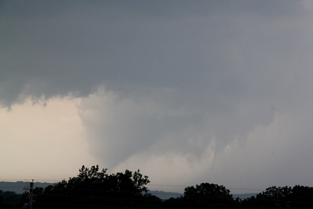
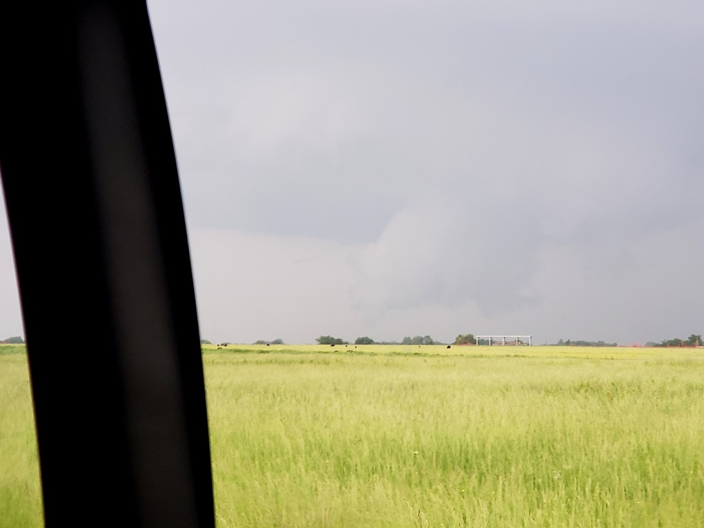
The storm was moving rapidly away from us to the
northeast as we reached the junction of Rt. 16 and Rt. 64 and off to the
northeast we saw a white elephant trunk tornado in the distance. Tornado #4 of
the day! This one was pretty far distant though and moving away. We continued
east into Muskogee and north on Rt. 69 but it was clear we weren’t going to
catch the storm.
Being behind the storms without much opportunity to catch
up and having had our fill, we called off the chase and turned south back to
I-40, keeping an eye on storms to the south of OKC in case they should become
worth chasing. They never did, though a severe storm did hover about an hour
west of our hotel most of the night. We eventually ended the chase and headed to
OKC to spend the night.
SPC
Convective Outlook SPC
Tornado Prob.
NOAA Storm Report
 |
 |
 |
 |
|
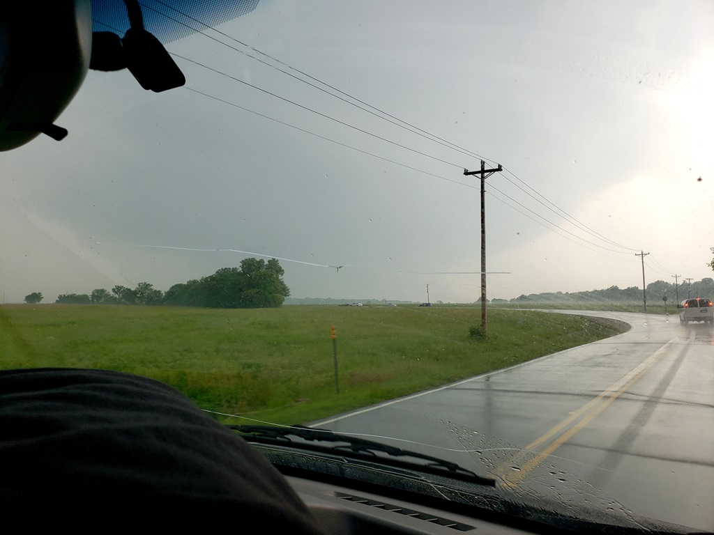
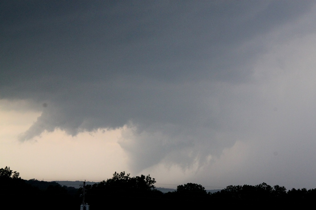
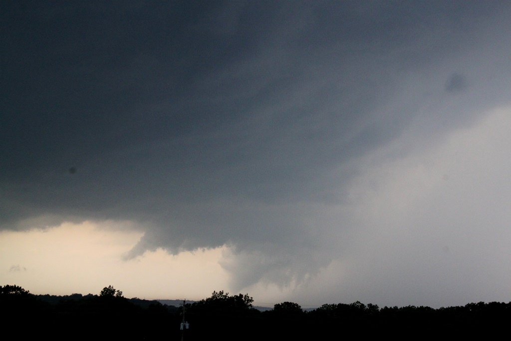
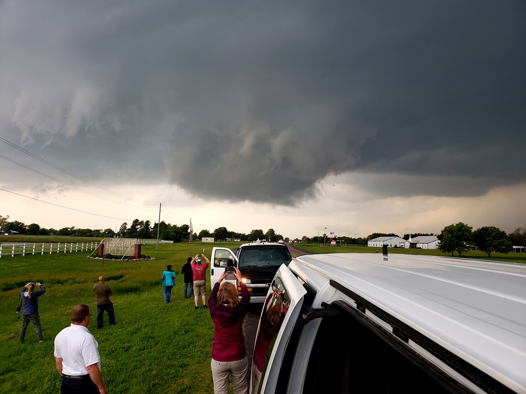
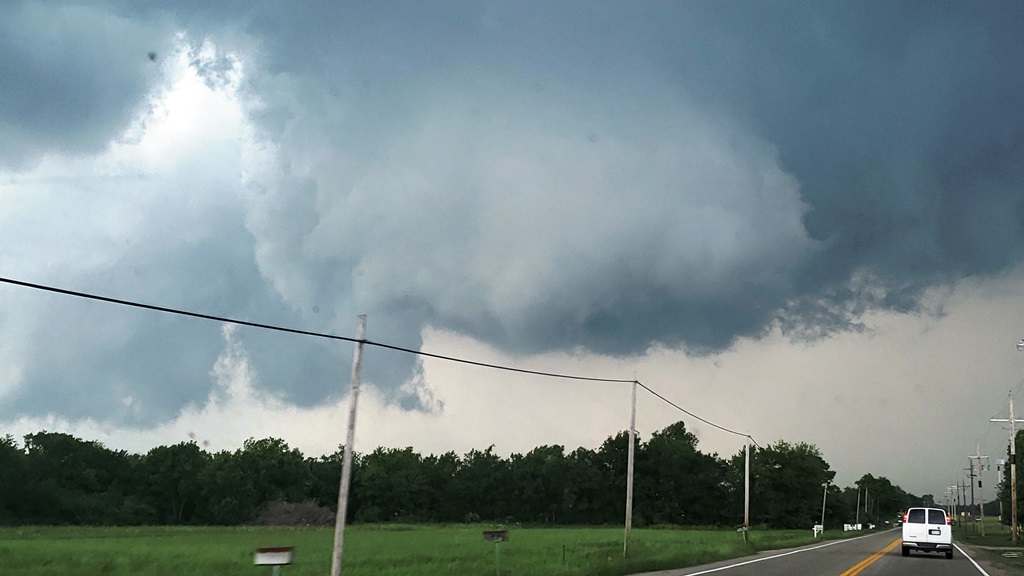
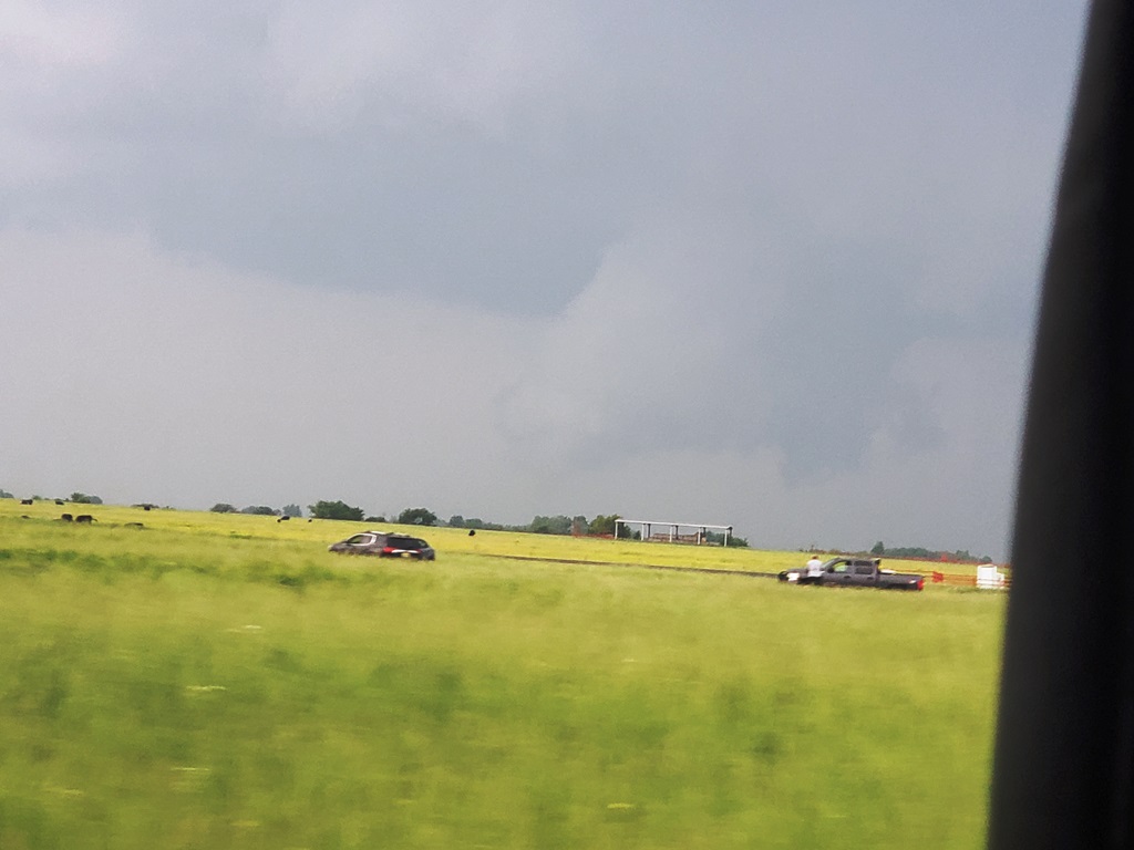
Another day with big potential in Eastern, OK. After maneuvering around flooded highways and lunch in Tulsa, we headed for Okmulgee for our first intercept. |
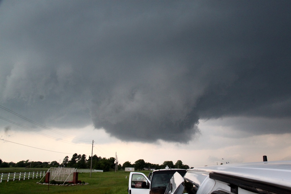
Blasting west on Rt. 56 while our target storm has a ground-dragging wall cloud crossing the road right in front of us. |
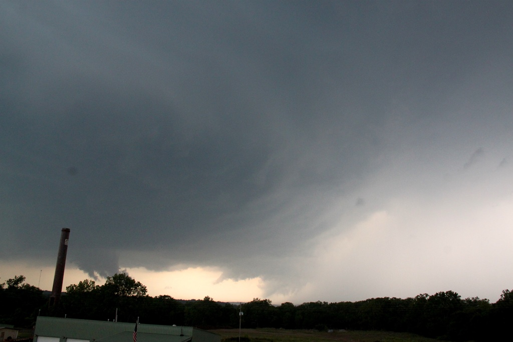
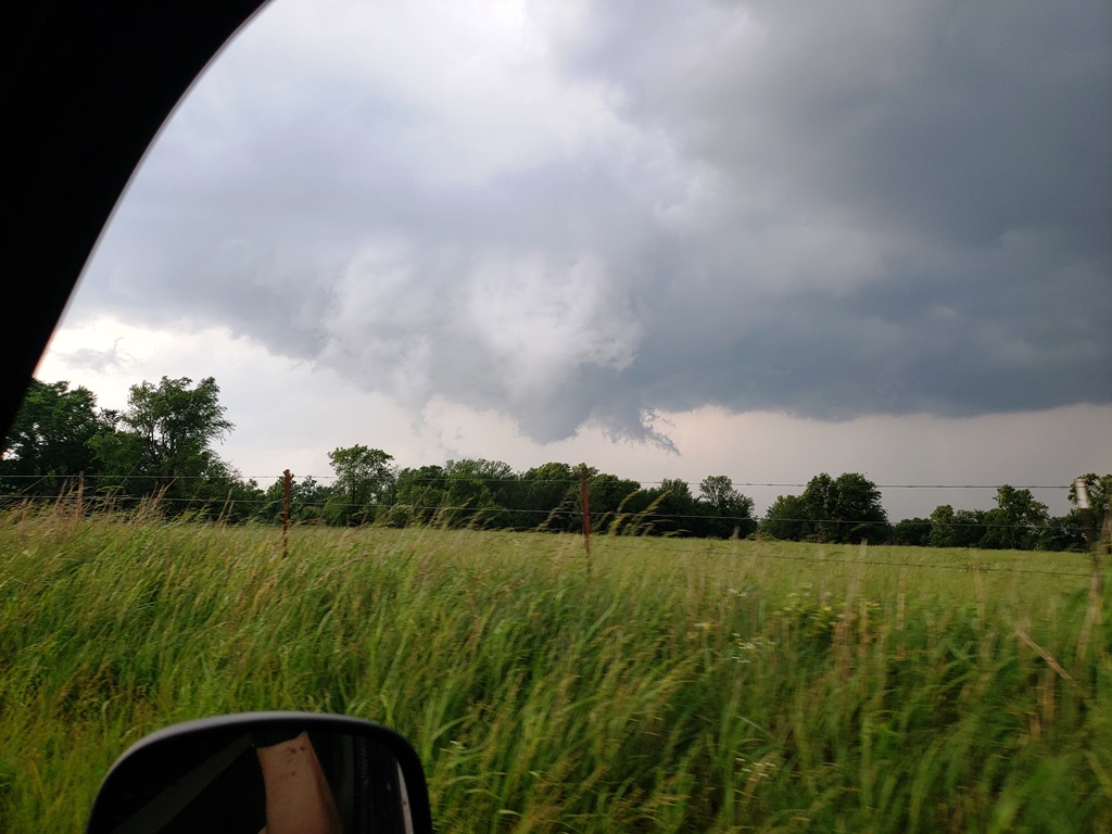
Tornado crossing the road about a mile in front of us! |
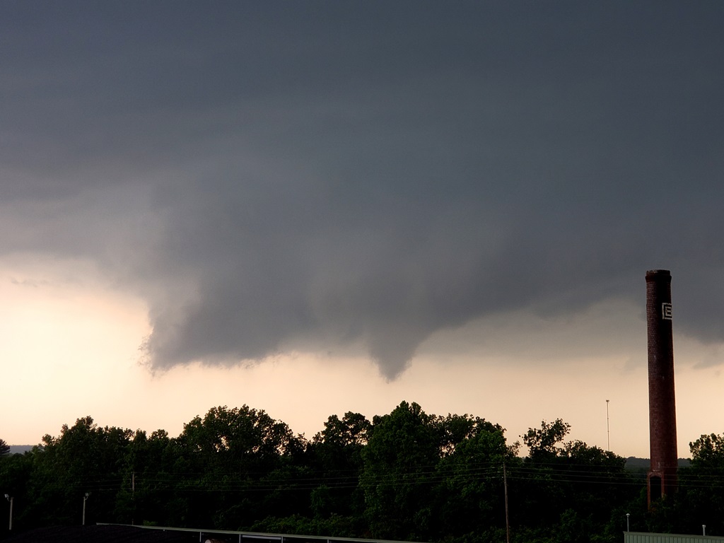
Multi-vortex tornado in the field right in front of us! Southwest of Nuyaka, OK. |
 |
 |
 |
 |
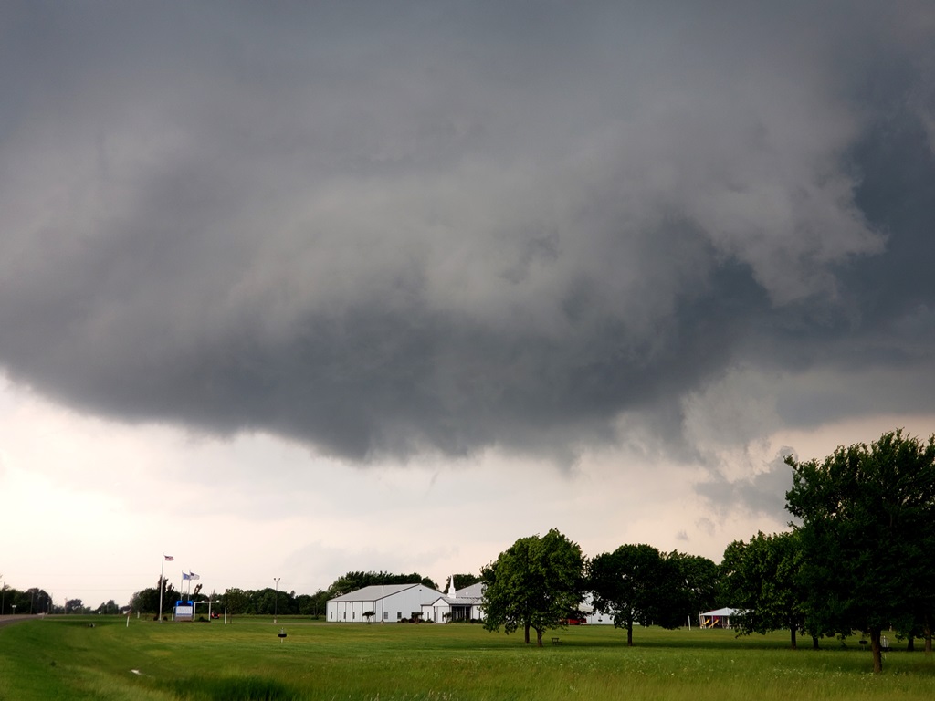
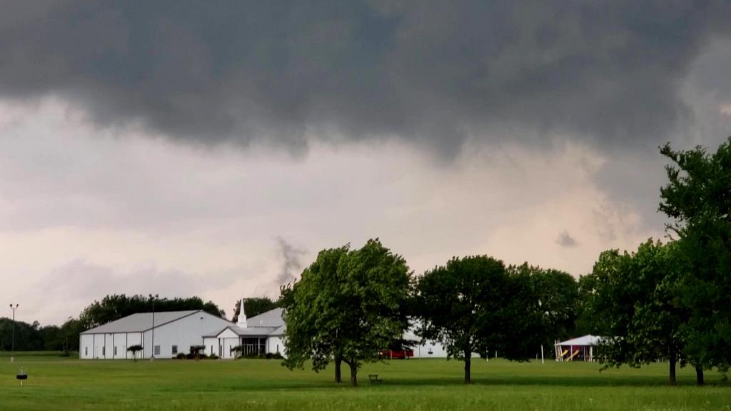
| Solidifying funnel. | At this point the tornado was skipping on and off the ground, sending little vortices whisping into the air. | ||
 |
 |
 |
 |
| Funnel solidifies again as the tornado moves to the northeast. | Blasting east trying to keep up with the storm near Dentonville Road, the wall cloud looked to be cycling. | We abandoned our first storm and raced east through Okmulgee to catch the next storm, narrowly getting out of the way of the oncoming meso. | As we cleared town south on Rt. 62, large tornado to our west! #2 for the day. |
 |
 |
 |
 |
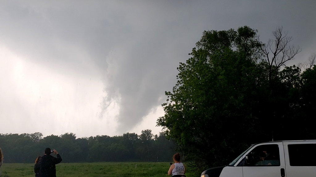
| Closer look at the cone tornado heading off into the trees. | Wider view of the structure. | Tornado drifts off into the haze. | |
 |
 |
 |
 |
| Meanwhile a new meso formed just to our southwest and looked like it might drop another one with in a mile of our position! | We headed east towards Morris with the meso coming right up behind us, stopping just west of town as it crossed the road behind us. | Wall cloud hanging right over the outskirts of town. | |
 |
 |
 |
 |
| Multi-vortex tornado skimming the ground, #3 for the day! | Driving north on Rt. 52 out of Morris we drove right up to the meso. | Meso crossing right in front of us but cycling. | We stopped to observe as the wall cloud headed to our east, still spinning hard but not tightening up. |
 |
 |
 |
 |
| As the storm moved off to the northeast it looked like it was organizing again so we continued to stairstep. | The storm kept producing funnels but they couldn't get to the ground. | Yet another wall cloud cycles up. | Heading east on Rt. 16 towards Muskogee, another funnel! Could not confirm if it touched down or not. |
 |
 |
||
| Off in the distance and very poor contrast in this photo but we did see debris swirls on the ground with this funnel. Tornado #4 of the day! Right at the junction of Rt. 16 and 62. | Slightly better contrast. |
All pictures (C) Richard Hamel 2020.