May 18th, 2003 Limon, CO Supercell
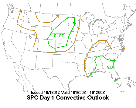
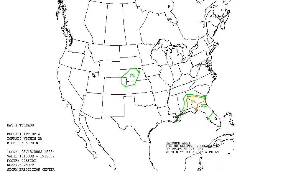
We started the day in North Platte, Nebraska with the intention of playing the upslope regime in Western Nebraska or Northeast Colorado since there wasn’t a great deal of moisture available to feed storm development. The day was mostly frustrating as we waited in Big Springs then Sidney, Nebraska for storms to initiate. The only storms we could see were a mess of convection firing over Cheyenne, Wyoming but they were ridiculously high based due to dew points in the 30’s there. We could clearly see the bases from where we were 150 miles away.
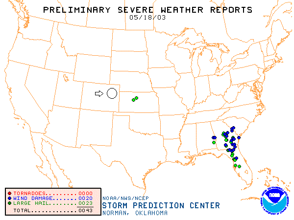
After waiting for storms to fire in Colorado and being taunted by the high based blobs in Wyoming, we were just about ready to give up for the day when we spotted 2 LP supercells and a big multi-cellular mess west of us. As we proceeded towards the LP's, they died a quick death so we set up to watch the lightning in the multi-cell storm. One of the updrafts then took over the show and the blob became an HP supercell and turned to the right directly at us!
 |
 |
 |
 |
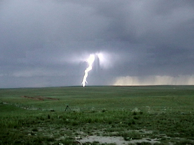
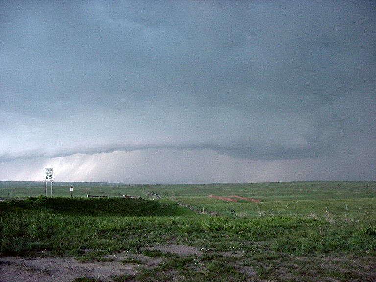
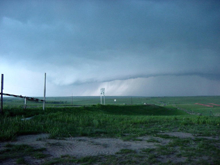
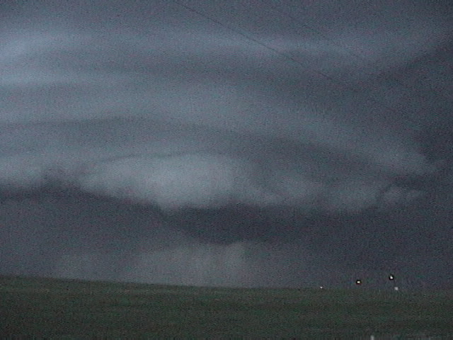
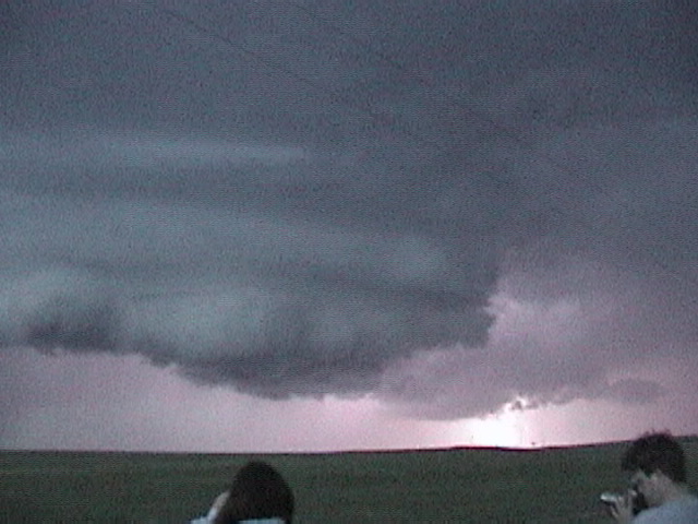
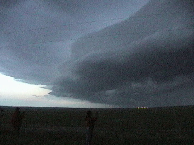
| Stopped near Limon, CO to catch the lightning show. | One of the updrafts eventually took over the show and the storm became a large HP right-moving supercell. | A shelf cloud develops to our west. | Nice shark toothed shelf cloud! |
 |
 |
 |
 |
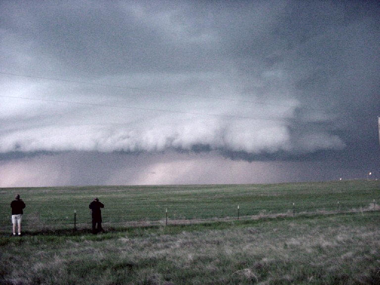
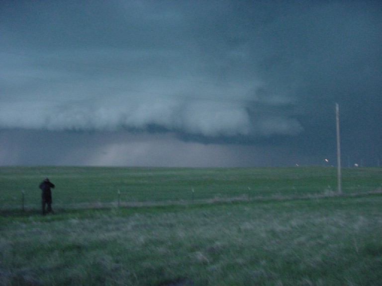
| A wall cloud develops along the northern edge of the shelf cloud. | Note the striations indicating strong rotation in the storm. | Close up of the wall cloud. | |
 |
 |
 |
 |
| Highly striated wall cloud as darkness falls. | Lightning illuminates the wall cloud. | Here comes the mature shelf cloud! |
All pictures (C) Richard Hamel 2017.