
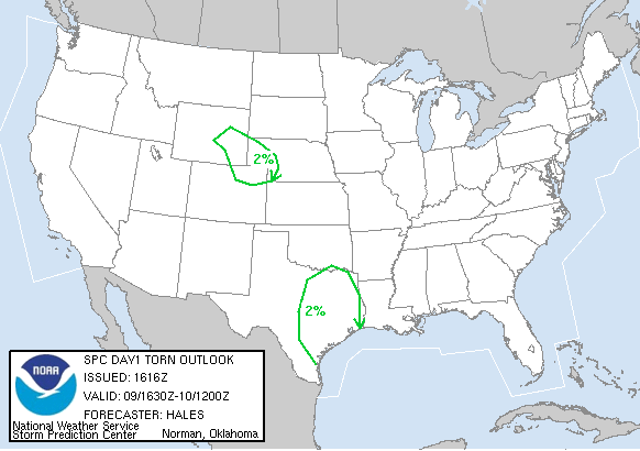

SPC Convective Outlook SPC Tornado Prob. NOAA Storm Report
June 9th, 2004 Woodrow, CO Tornado
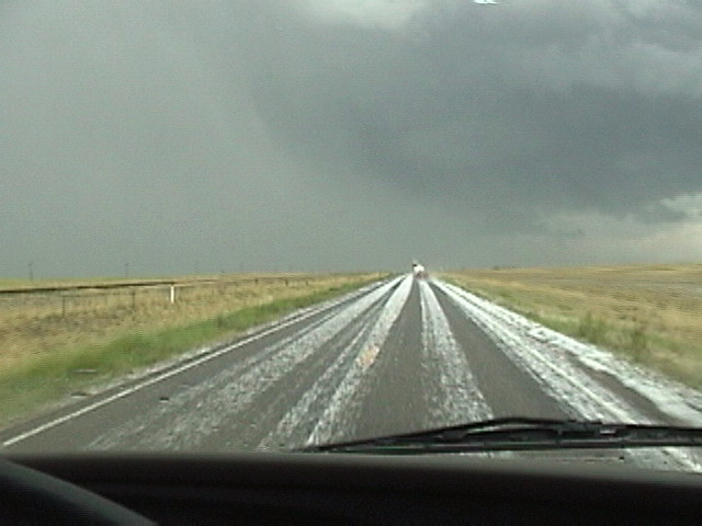
Starting in North
Platte we targeted Fort Morgan, Colorado, and upon arriving there drove south
towards Bennett as we were north of an outflow boundary left over from the
previous day and were in stable air, while to the south of the boundary towering
cumulus were forming.
Upon arriving East of Denver we decided to go after a cell moving off to the
northeast of the city. It had a great two level liberty-bell updraft, but as we
started to get close it quickly fizzled out and we dropped off the highway and
targeted a cell moving up from the south near Denver International Airport.
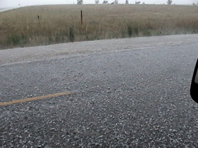
After we tried to get into the hail and only got plinked we moved to the rear
flank of the storm and caught a few big gustnadoes then a brief landspout right
near the DIA Doppler radar (both appear in my still of the landspout) before
moving north. The storm developed into an enormous HP supercell hailer.
After sampling the hail core which, while it consisted of probably not bigger
than quarter sized hail did fall so quickly that it covered the ground in only a
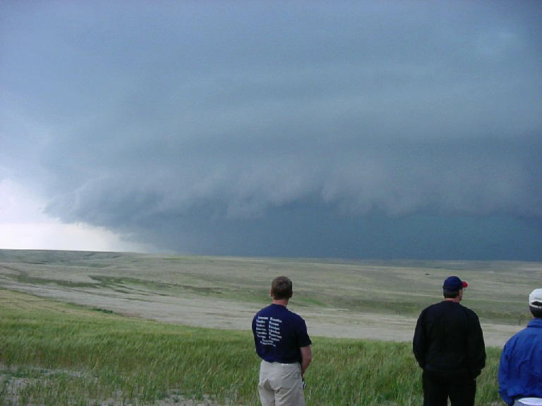
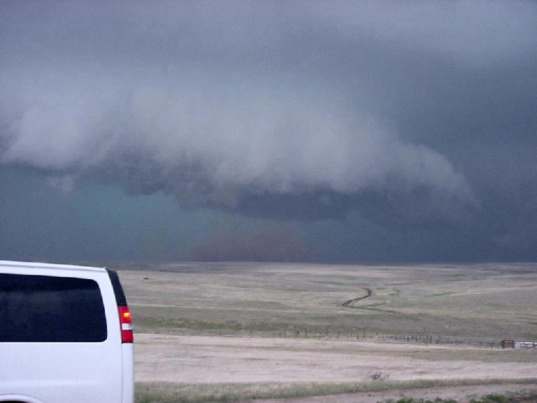
minute or so, we moved to the northeast side of a MONSTER core. As we were
getting ready to run from the rapidly approaching precipitation, a strong RFD
blast around the meso surprised us and produced a nice white truncated cone
tornado with a red debris plume near Woodrow, CO. The meso was really impressive
with violent rotation. As the tornado was moving straight at us at about 40 MPH
and we were on dirt roads we only had a minute or two at most to film before we
had to take off. After that it was a mad dash to get out of the way of the core.
We zig-zagged in front of the storm for about an hour after that then headed
back out to North Platte, Nebraska to set up for the next day’s chase.
SPC
Convective Outlook SPC
Tornado Prob.
NOAA Storm Report
 |
 |
 |
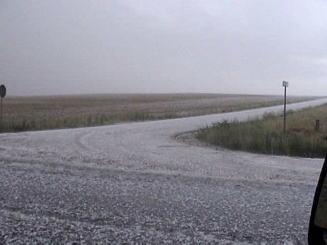 |
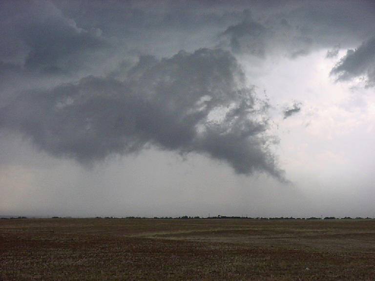
| Lowering with tail cloud near Bennett, CO. | Brief landspout near the Denver Airport's Doppler radar. | Near Strasburg, CO, we sample the hail core. | |
 |
 |
 |
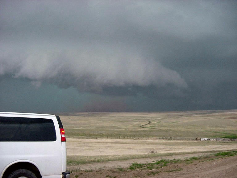 |
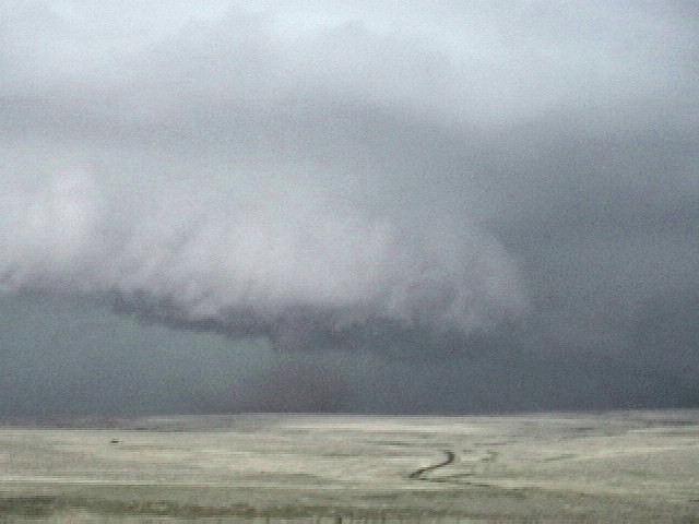
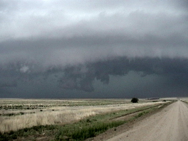
| Approaching shelf cloud and core near Woodrow, CO. | Truncated cone tornado develops as the storm's RFD spins around the mesocylone. | ||
 |
 |
 |
|
| Video still enhanced to bring out the tornado detail. | And another video still enhanced to bring out the tornado detail. | After the tornado, a new lowering develops but no new tornado forms. |
All pictures (C) Richard Hamel 2017.