
NOAA Storm Report
June 12th, 2002 Alva, OK HP Supercell
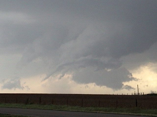
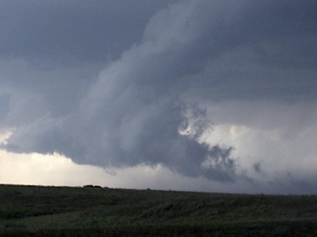
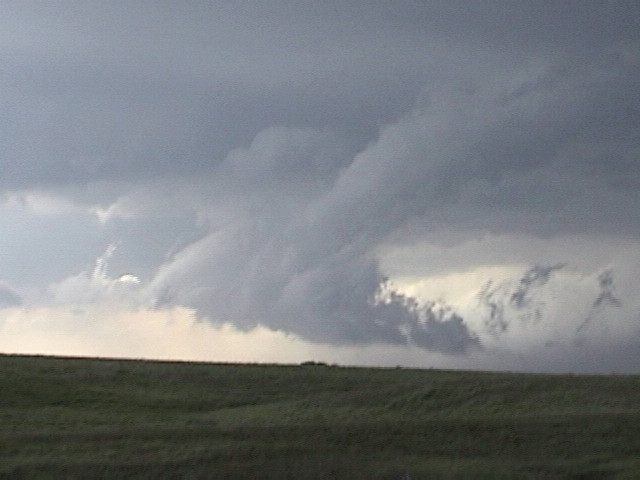
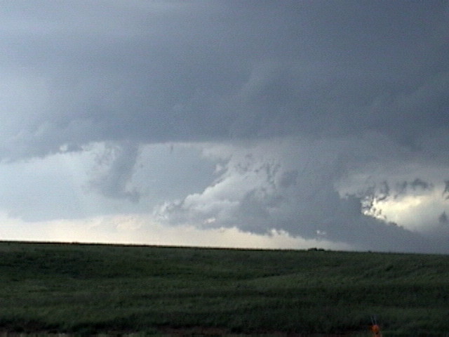
Starting the day in OKC we headed northwest where an outflow boundary left over from the previous day's convection was to be the focus of storm initiation for the day. The cap was pretty weak so we knew that once things started popping it would quickly turn into a big squall line, so if there was going to be any tornado potential it was going to be early before the storms lined out. We caught our first storm near Alva, OK and it quickly produced a large wall cloud with rapid rotation. There were several violent gustnadoes (some of which were incorrectly identified as brief tornadoes), then the storms quickly became outflow dominant. The storms generated large plumes of flying dirt as the outflow kicked up all kinds of small debris. We chased east almost to Ponca City. Eventually we gave up and since we needed to drive west for the next day's chase, we had to drive back through the big MCS to get to the hotel. This was about as close to seeing roads get completely washed out as I've come as it seemed like the fields around us were underwater and we were driving on a causeway.
NOAA Storm Report
 |
 |
 |
 |
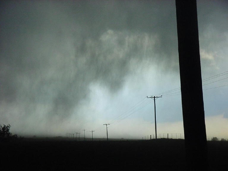
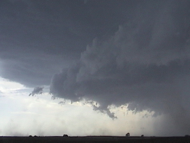
| As we chase near Alva, a supercell fires near Ponca City. | Oddly configured wall cloud develops on the Alva storm, but the rotation remains disorganized. | ||
 |
 |
 |
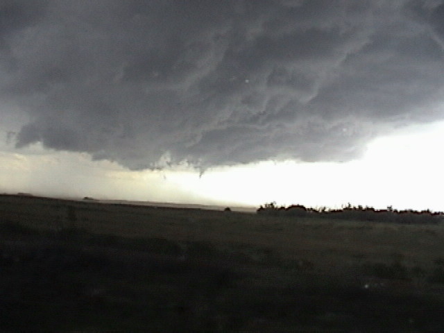 |
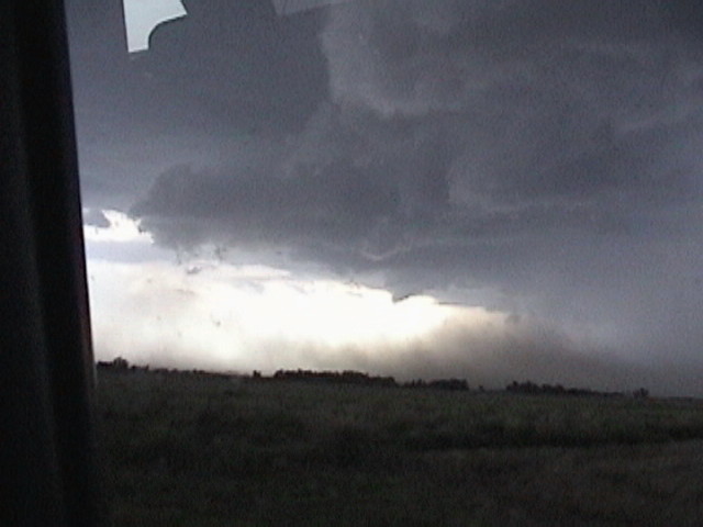
| Once the storm becomes outflow dominant, tons of dirt gets blown into the air. It's raining mud! | The storm produces a funnel, but no tornado. | ||
 |
 |
 |
 |
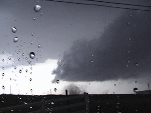
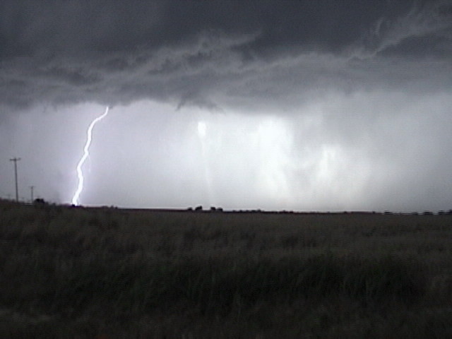
| Large gustnado spins up on the gust front. | Nice CG's near the van. | ||
 |
 |
||
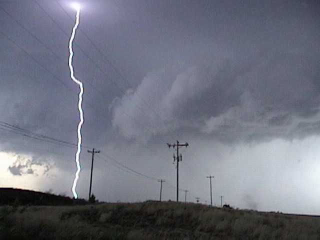
| Lots of dirt blown up by the outflow. | Still highly electrified even after the storms line out. |
All pictures (C) Richard Hamel 2017.